


Background
Zoning is a vital tool to ensurethat growing cities are headed in the right direction when planning for economic gains, quality of life, and organized development. However, zoning as we know today has changed dramatically since it was first implemented in New York City in 1916. The city staff has a dire need to consume, share and analyze the zoning data in an efficient manner as zoning is not only constantly shifting and repurposed to meet the demands of a growing city but also recognize that Zoning is the primary tool used to regulate the type, size and form of various development.
Problem
Kansas City, KS Planning Department were faced with a problem common to many cities regardless of its population size.
Simplify
Zoning ordinances are complicated and difficult to comprehend in its current form. The city staff was expected to not only understand and analyze the zoning code themselves but also face the challenge to communicate its complexities in a simplified manner to other city departments, stakeholders, developers, and their citizens. The city staff desperately needed a simple and reliable tool for everyday use.
Visual Communication
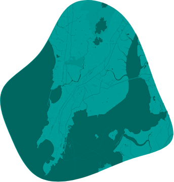
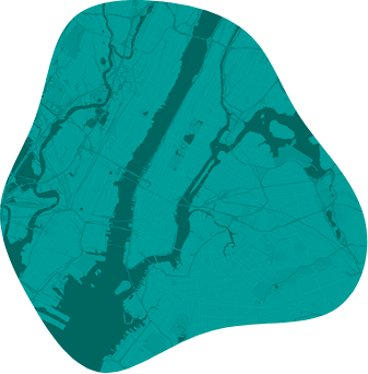
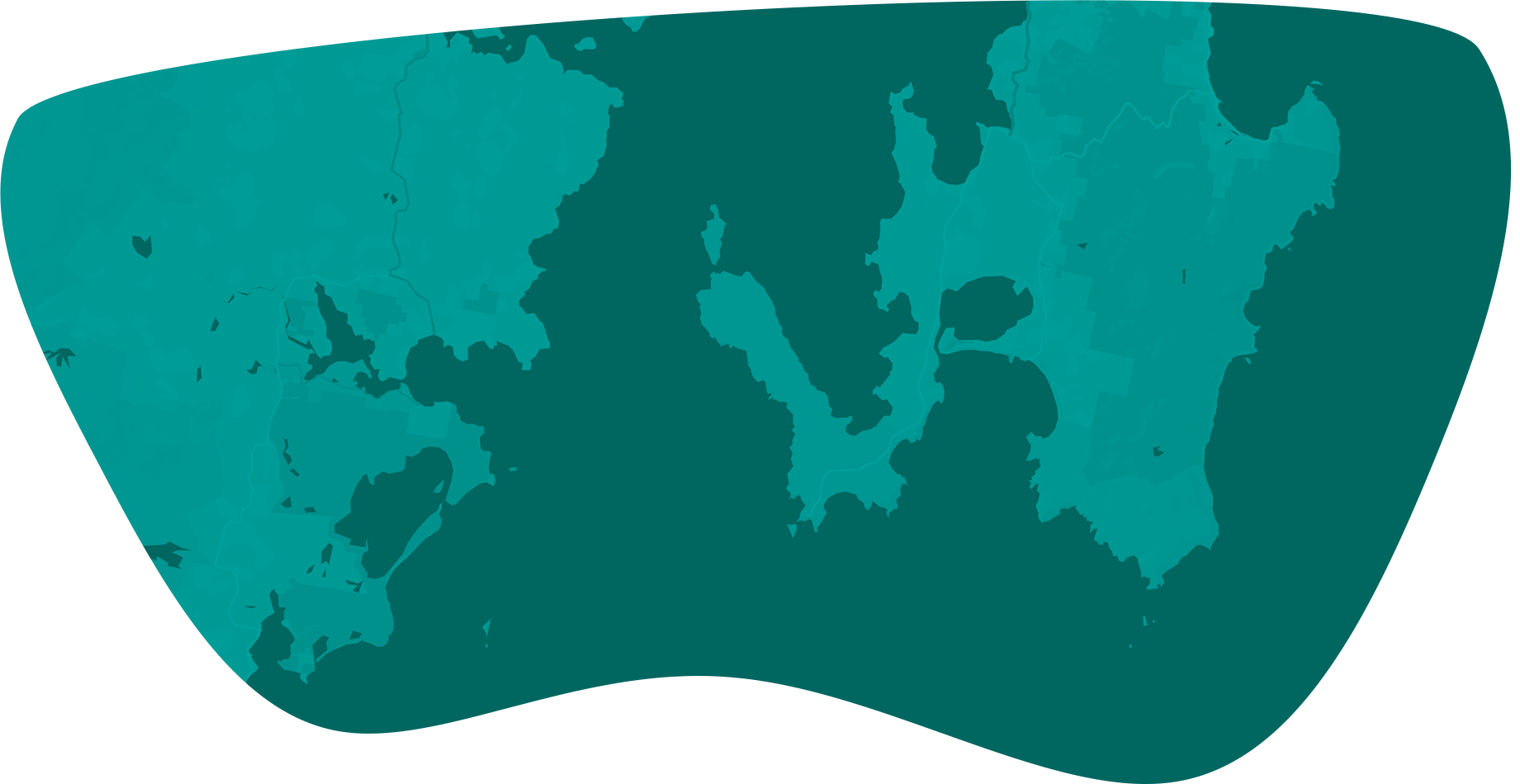
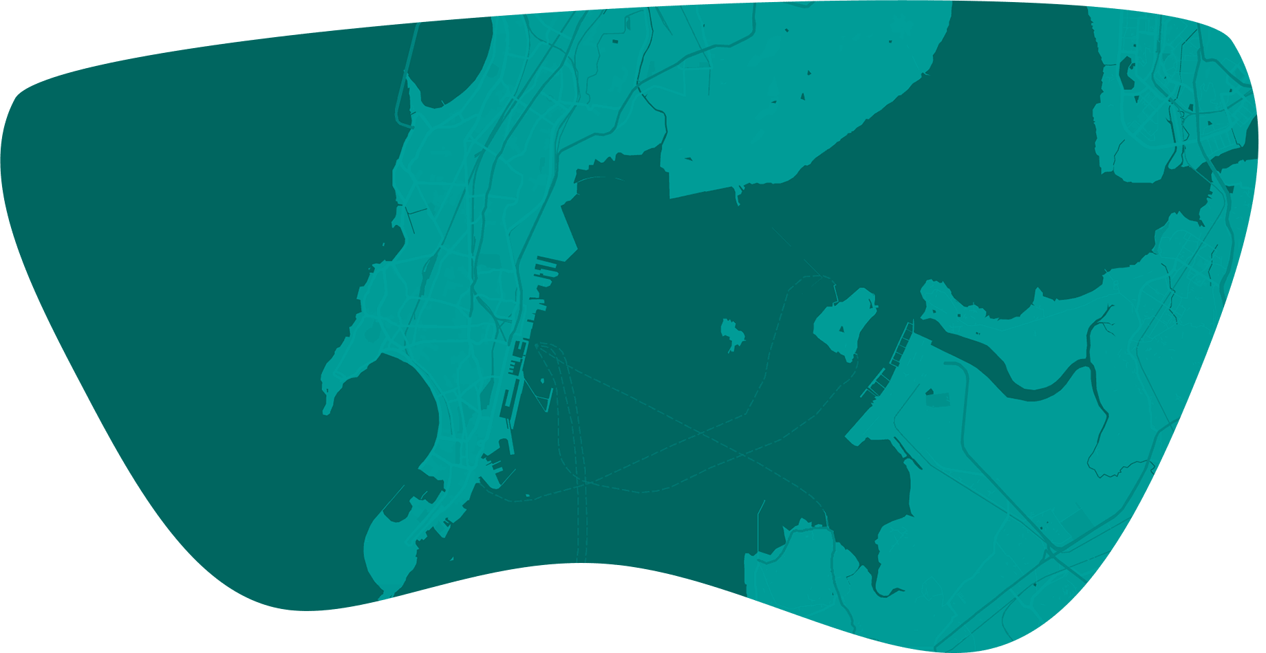
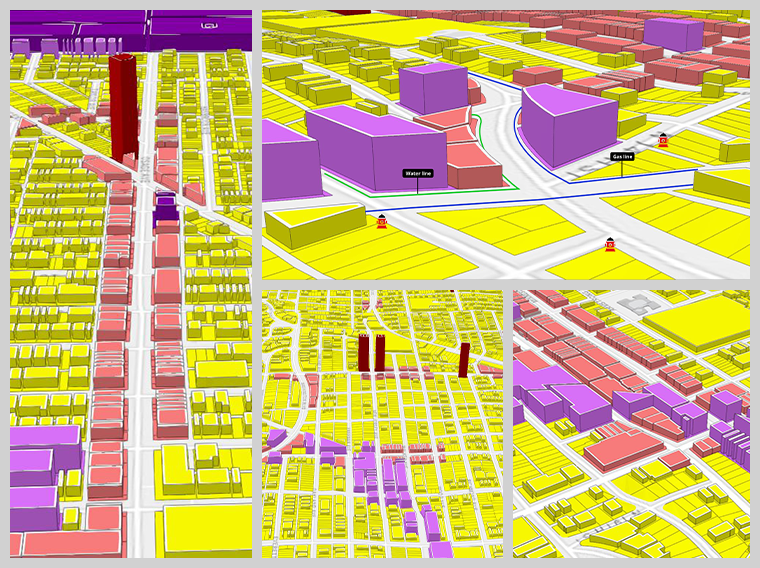
Managing zoning boundaries to accommodate the changing landscape of the city and communicate the zoning changes effectively and visually.
Share
The city staff is constantly responding to various zoning requests by developers and citizens via phone calls, emails and in- person visit to the city hall. There is an inherent need to disseminate zoning information in a simplified and easy to use method that allows everyone to access precise information about relevant zoning material in a do-it-yourself (DIY) method with little or no technical training.
Solutions
The decision makers at Kansas City recognized these problems and found an easy to use, efficient, and modern day spatial solution, GeoZone-developed by City Planners at ViewPro. GeoZone is more than a map! It is inherently 3D tool that performs zone exploration and site analysis in a modern web-based browsers and tablets. Here are some of the benefits achieved.
City administrators, planners, developers, or citizens can all access the same map interface using their preferred web browser, tablets, or smartphones. Users can click any zone down to the parcel level, and immediately get zoning codes, acreage, property ownership, and addresses in one click.
GeoZone implemented its proprietary smart web urls technology referencing the applicable zones such as development control regulations, land-use requirements, special uses, sign regulation, landscape requirements, and any additional applicable requirements without having to sift through pages of complicated zoning ordinances saving time and bringing more efficiency into the workflow.
Now, expanding business owners and motivated developers can draw around areas of interest, place a pin, or directly select parcel(s) on the map and get all the useful information in easy to use spreadsheet format within minutes. City staff can specify any buffer distance around selected sites or parcel boundaries. A true distance is determined and adjacent sites filtered, allowing the city staff to generate a list of owners to send zoning change notices with confidence.
Using the analytical tools, now the city staff can help potential developers narrow down a list of potential site locations in no time, increasing the speed of development and maximizing efficiency by saving money and time in planning.
GeoZone implemented a proprietary tool called Land Use Lookup (LULU) that is based on enCodePlus’ cutting edge codification technology. With this tool, all current and planned land uses, available commercial properties for sale/lease, and land banking sites can be extracted in a DIY format without having to call the Planning Department. This tool provides the user with anenhanced insight into the zoning regulations.
Exploring and sharing zoning information with ViewPro’s platform not only eased cross-departmental sharing but also guaranteed city-wide collaboration.
Summary
As Esri’s business partner and GIS innovators, ViewPro provided the Kansas City Planning Department with a last-mile solution to solve their everyday need for zoning data exploration, site analysis, and sharing in a single interactive platform for easy, fast, and usable zoning information.