


Background
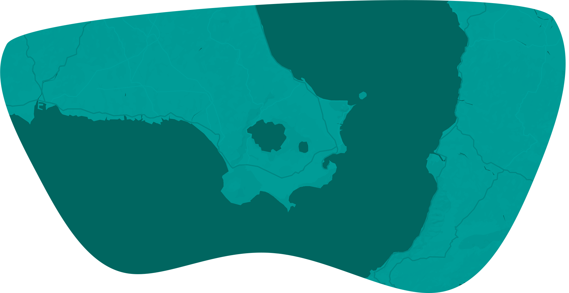
Richmond, Texas is one of the fastest growing suburbs in the greater Houston metropolitan area. With many growing suburbs competing for economic growth, the Development Corporation of Richmond (DCR) is interested in taking its fair share of growth and set the foundation for a long term and sustainable economic development for the City of Richmond
Problem
The leadership at DCR and Economic Development Planners are looking to attract and retain businesses with a well-thought-out and innovative strategy by showcasing the city's unique strengths and its smart development strategies through an interactive and easy to use geospatial tool.
Accessible and scalable
DCR recognizes the importance of GIS based analysis to be faster, cleaner,and more accessible to reach a wide network of audiences beyond Texas to address national and global demand.
One-Stop Decision-making
Finding sites where certain businesses could thrive on a long term basis, getting all the myriad of information needed to make an informed decision about the site, and analyzing the surrounding demographics while collaborating with the local community is at the heart of logical decision-making by prospective investors and developers.
Utilize Local Government Data
Instant and secured access to all city planning data (i.e. Zoning,Utilities, and Environmental constraints) that enables time efficient decision delivery.
Solutions
Development Corporation of Richmond recognizes the competitiveness in the market in order to showcase their USPs to seek business investment. DCR opted for ViewPro’s GeoLocator tool-an essential apparatus in a fiercely competitive market to retain business customers and tax dollars within its city limit and prevents the city from losing out to a neighboring city.
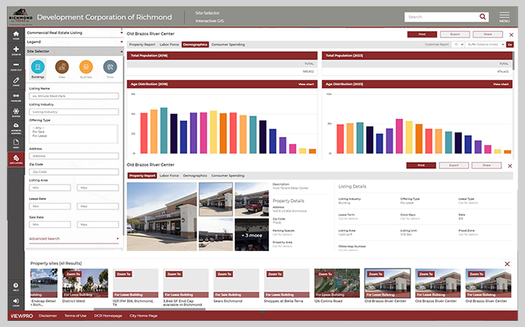
GeoLocator allowed DCR to display and filter available properties for sale and lease that are dynamically updated in real-time. ViewPro’s cutting-edge technology leverages 3rd party data in addition to its proprietary tool to create its own listings. It is designed to be scalable to accommodate DCR’s varying demands.
GeoLocator allows cross-platform collaboration with other ViewPro products such as GeoZone and GeoComment making the data exchange extremely efficient saving time and money.
GeoLocator implemented tools to provide instant access to Esri’s Demographic and Business Analyst data that generates specialized reports to provide logical reasoning to potential developers and investors who are considering the City of Richmond as their business home. The user saves time investigating sites of interest by pulling in clear graphs and visuals of localized demographics, consumer spending, property history, and contact information with the latest data rendered with impressive speed and presentation.
Timely and necessary data provided by GeoLocator tool clearly gave business stakeholders a piece of mind and enticed them to build, expand, and maintain business interest within the city limits.
Summary
As modern cities begin to showcase their USPs to seek business investment, GeoLocator tool helps draw business’ attention to the city’s unique strengths. The tool uses real-time Demographic and Business Analytics powered by Esri to offer business intelligence for identifying infrastructure assets and factors contributing to the current trends in development.